Disaster & Risk Assessment
A shared map for disaster and risk assessment
Assess sites, document exposure and coordinate response activity by location in one structured workspace. Replace fragmented records with operational oversight.


BEST OF 2013
Rated 4.7/5


FEATURED APP

Risk becomes visible
When assessments live in documents and spreadsheets, exposure is hard to quantify. A map-based system ties risk directly to place.

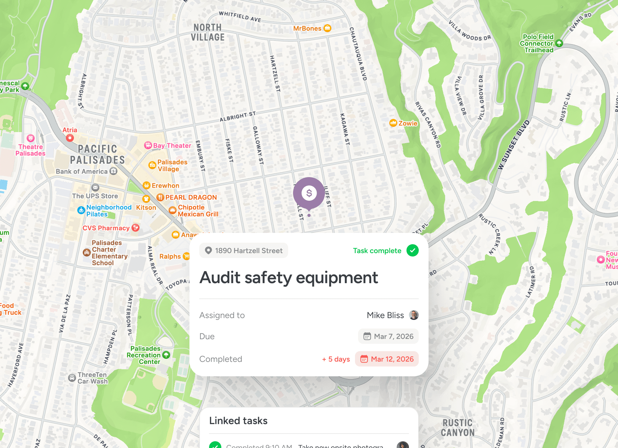
Every site has a structured record
Inspections, photos and notes are attached to locations, not inboxes. Context remains intact over time.

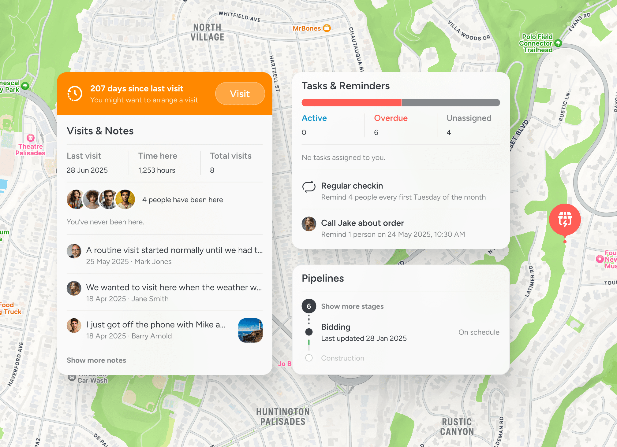
Response plans stay coordinated
When incidents unfold, teams need shared visibility across affected areas. A location-first view reduces confusion.

Accountability becomes defensible
Activity tied to place creates a reliable operational record for internal review and external scrutiny.
Risk structured by geography
Location becomes the system of record
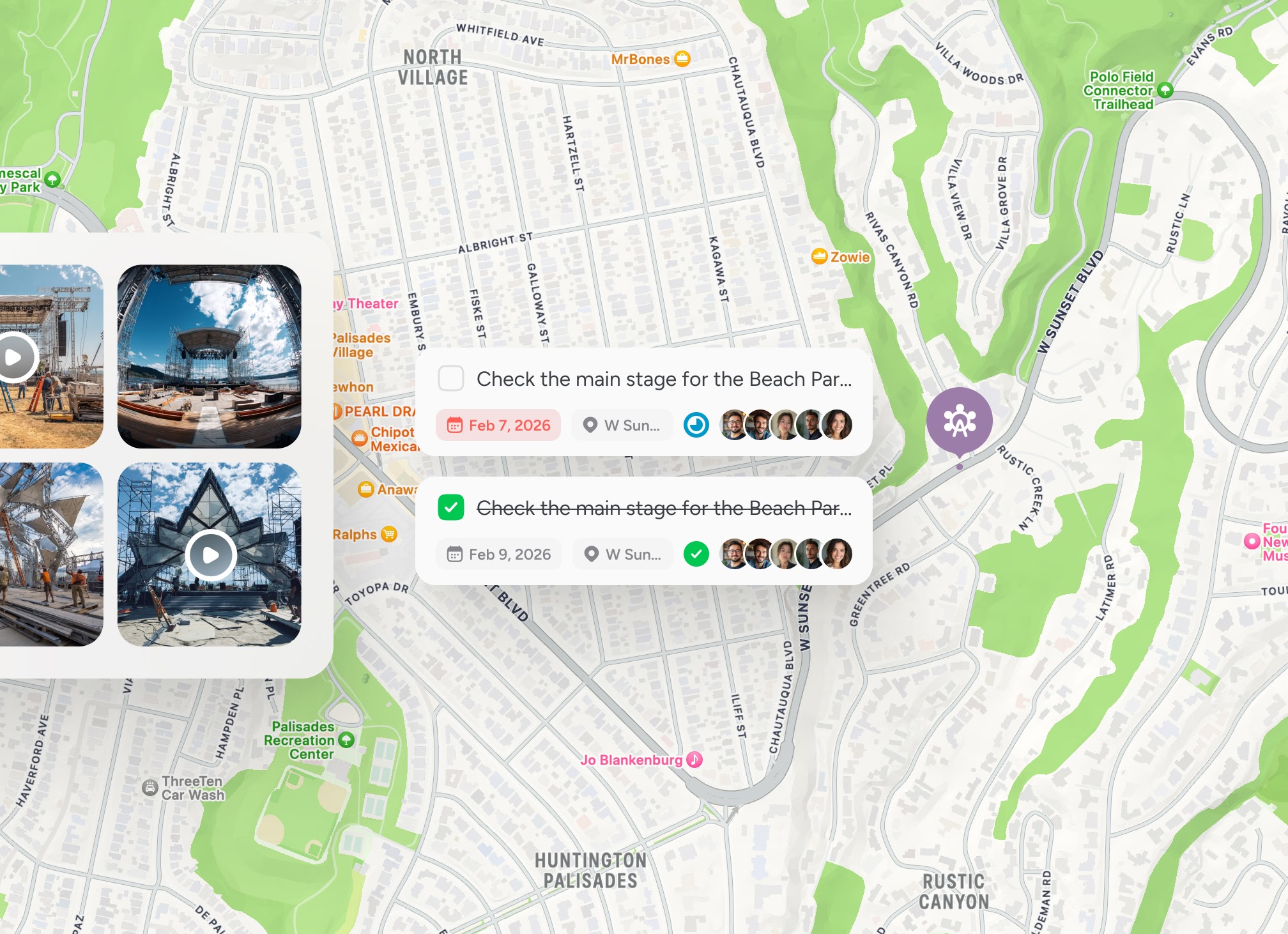
See exposure, assessment and response in one operational view
Risk operations span multiple sites and teams. When information is tied directly to geography, oversight becomes natural rather than forced.

Testimonials
Trusted by teams responsible for critical infrastructure
Risk and resilience teams use a shared, location-based workspace to improve oversight and accountability across operations.

“Structured location based records strengthened our audit readiness.”

Amina Al Saadi
Compliance and Risk Lead
“Incident records tied to location strengthened our reporting process.”
Ulf Johansson
Critical Infrastructure Risk Lead
“During response coordination, shared visibility across affected areas made decision-making faster.”
Amara Shar
Emergency Planning Officer
Guided walkthrough
See how risk becomes structured by location
Explore how a shared operational map can support inspection tracking, exposure assessment and coordinated response across regions.


